Join Newsletter
See our latest artworks
before anyone else!
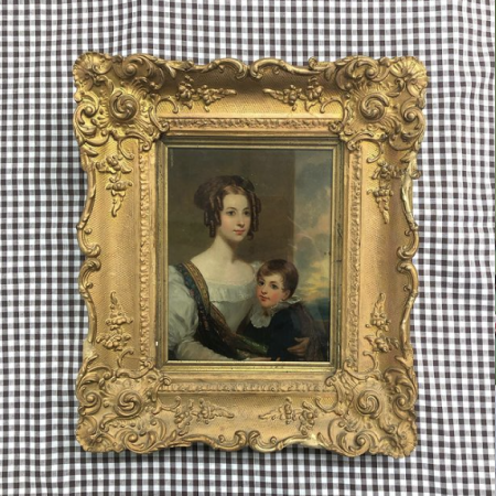
Cropped to the plate line at the right edge, cropped outside the plate line at all other edges. There is some mild foxing and discolouration and two closed tears, one at the centre of the upper edge and the other at the centre of the lower edge. Both are outside the plate lines.
37.8 x 30.2cm (14.9" x 11.9")Sheet: 48.8 x 39cm (19.2" x 15.4")
| SKU | ra887 |
|---|---|
| Date | 1830 |
| Dimensions | 37.8 x 30.2cm |
| Medium | Engraving |
| Style | Realism |
| Subject | Maps |
| Item Returns | This item can be returned |
Delivery prices for this item are as follows
Remember - we combine shipping costs for multiple purchases automatically so go through to checkout for the final price.

All of our items come with
a
Certificate of Authenticity


